Blog
Kartoza Internship: Programming Sessions
The Kartoza Internship aims to prepare candidates for the workplace and build their skills, knowledge, experience, and portfolio.
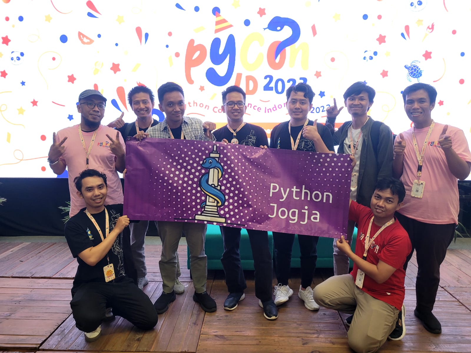
Managing Legacy Code - PyConID 2023
Tips on dealing with legacy code, from a keynote at PythonID 2023
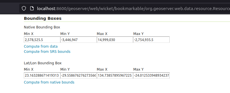
Tutorial: Auto-updating GeoServer layer configurations
GeoServer REST API enables remote interactions with GeoServer, thereby enhancing automation

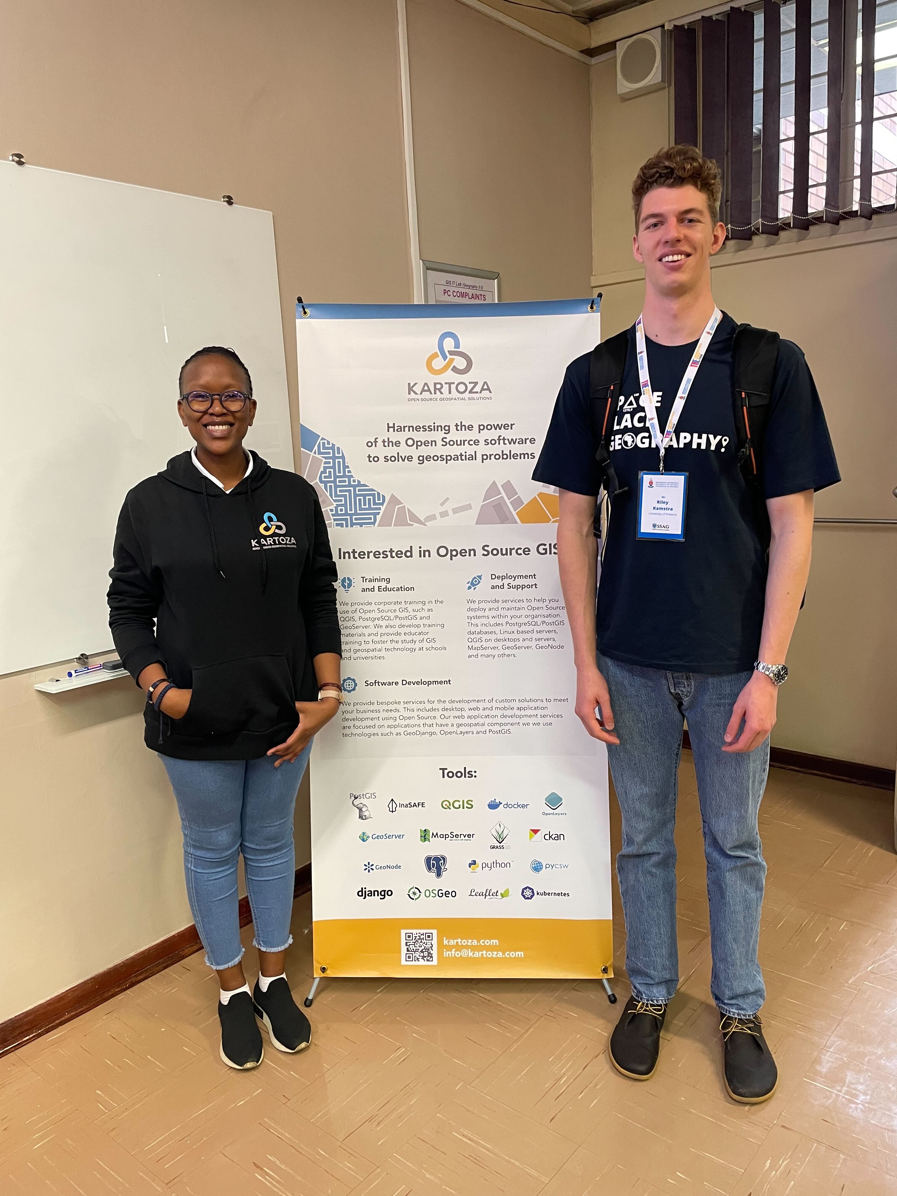
Kartoza at PyConZA Durban 2023
Kartoza is actively involved in developing cutting edge geospatial solutions. Python programming language is at the heart of the major products we build.
.png)
GIS in the classroom - Exploring the SAGTA Map Downloader
GIS is part of the school Geography curriculum in South Africa. Teachers need to grasp GIS concepts and teach them in the classroom. Geography teachers and students often need access to topographical
Kartoza Book Review: QGIS for Hydrological Applications second Edition
QGIS for Hydrological Applications is not just a book for Hydrologists but for anyone who wants to improve their QGIS skills through practical, real-world examples that happen to be hydrological.
How to get GIS going at your school
GIS is the exciting world of modern and applied geography. It can seem overwhelming to implement GIS in your school curriculum. This is a one-stop teacher's guide to getting GIS going in your classroo
.png)
A Beginner's Guide to Asking Good Questions on StackExchange
Every software beginner eventually runs into a problem that Google can't help with. For moments like these, Ian Turton gave a great guide on how to get a good response on StackExchange.
.png)
Kartoza Book Review: Discover QGIS 3.x - Second Edition
Kartoza Book Review: Discover QGIS 3.x - Second Edition by Kurt Menke
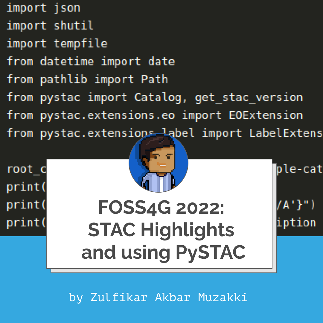
FOSS4G 2022: STAC Highlights and using PySTAC
FOSS4G 2022 was the first on-site FOSS4G conference held after the pandemic. There were around 330 talks delivered, and it seemed to me that Spatio-Temporal Asset Catalog (STAC) is a hot topic.
Workshop - Making Your Own Maps for Publication Using QGIS
An overview of the QGIS workshop presented at the Society of South African Geographers Biennial Conference 2022.
Installing QGIS on a Chromebook
Run QGIS on a Chromebook! A high school in Johannesburg shows how to extend Chromebook client notebooks to be effective desktop GIS computers.
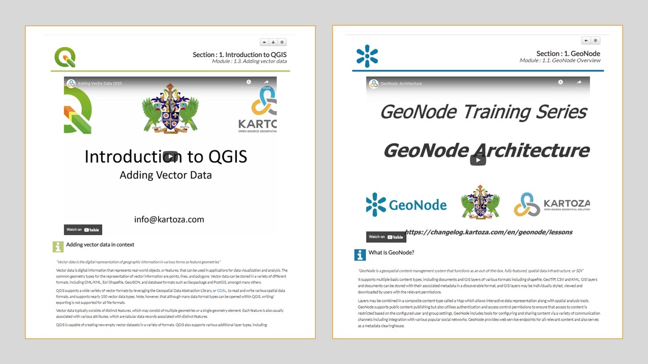
A Step Forward in Kartoza's QGIS and GeoNode Training
Learning online has become an essential part of education globally. Kartoza has answered the call for up-to-date, engaging and dynamic teaching material by updating our QGIS and GeoNode teaching platf
Reading and Writing XLSX File with Openpyxl
Openpyxl is a Python library used for manipulating Excel files. I came across a work that needs to export data to XLSX format, and I used Openpyxl as it’s pretty straightforward.
Creating 3D Models for QGIS with ODM on Windows
This post is a walkthrough showing you how to create a 3D model using ODM and Blender from the video frames of a video shot on your cellphone and use the 3D model as a symbol in QGIS.

QGIS STAC API Plugin
STAC API plugin A new QGIS plugin that allow browsing STAC API catalogs has been release, the plugin developed by Kartoza and sponsored by Microsoft is available for
Mocking Requests with Responses
This blog will show you an alternative to requests_mock, the one that is simpler to use yet offers more features: responses
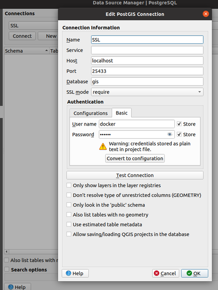
PostgreSQL SSL Setup in Docker-postgis
There are many ways to get a running PostgreSQL database on your host machine. Our preferred method of setting up the the database is using Docker and Kartoza provides a PostGIS Docker image
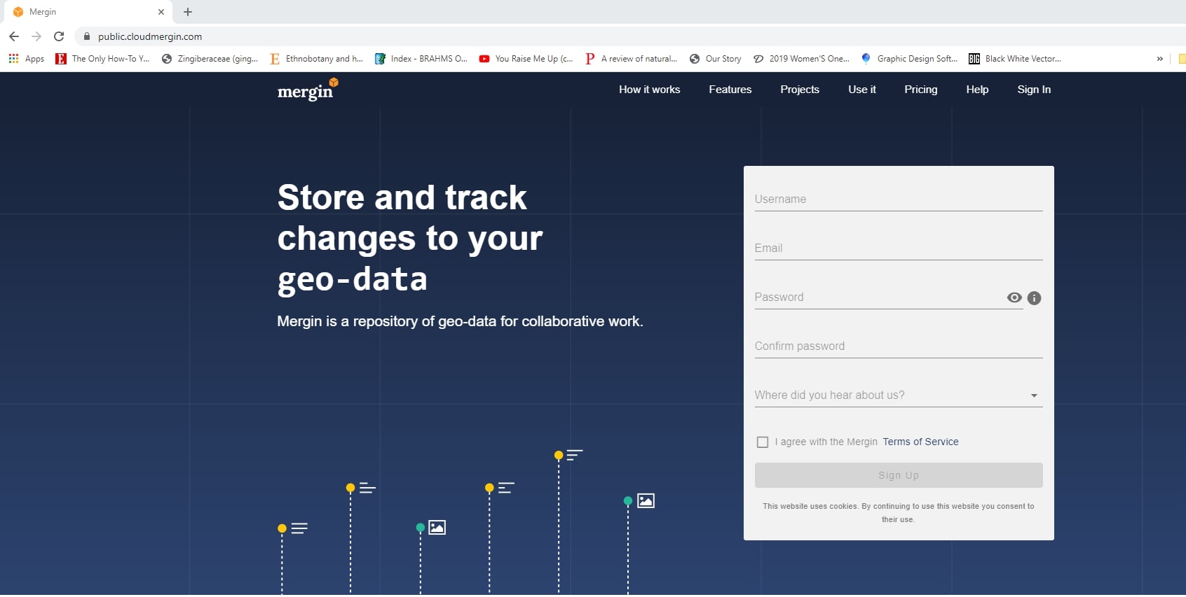
The Kartoza Intern's Journey Creating a Field Survey with QGIS, Mergin and Input
Input is a FOSS application created by Lutra consulting that brings the power of QGIS to a portable device for data collection.
QGIS Road to Nerdvana Episode 19 and 20
Episode 19 is a walk through using the Google Earth Engine Time series Explorer plugin for QGIS.


