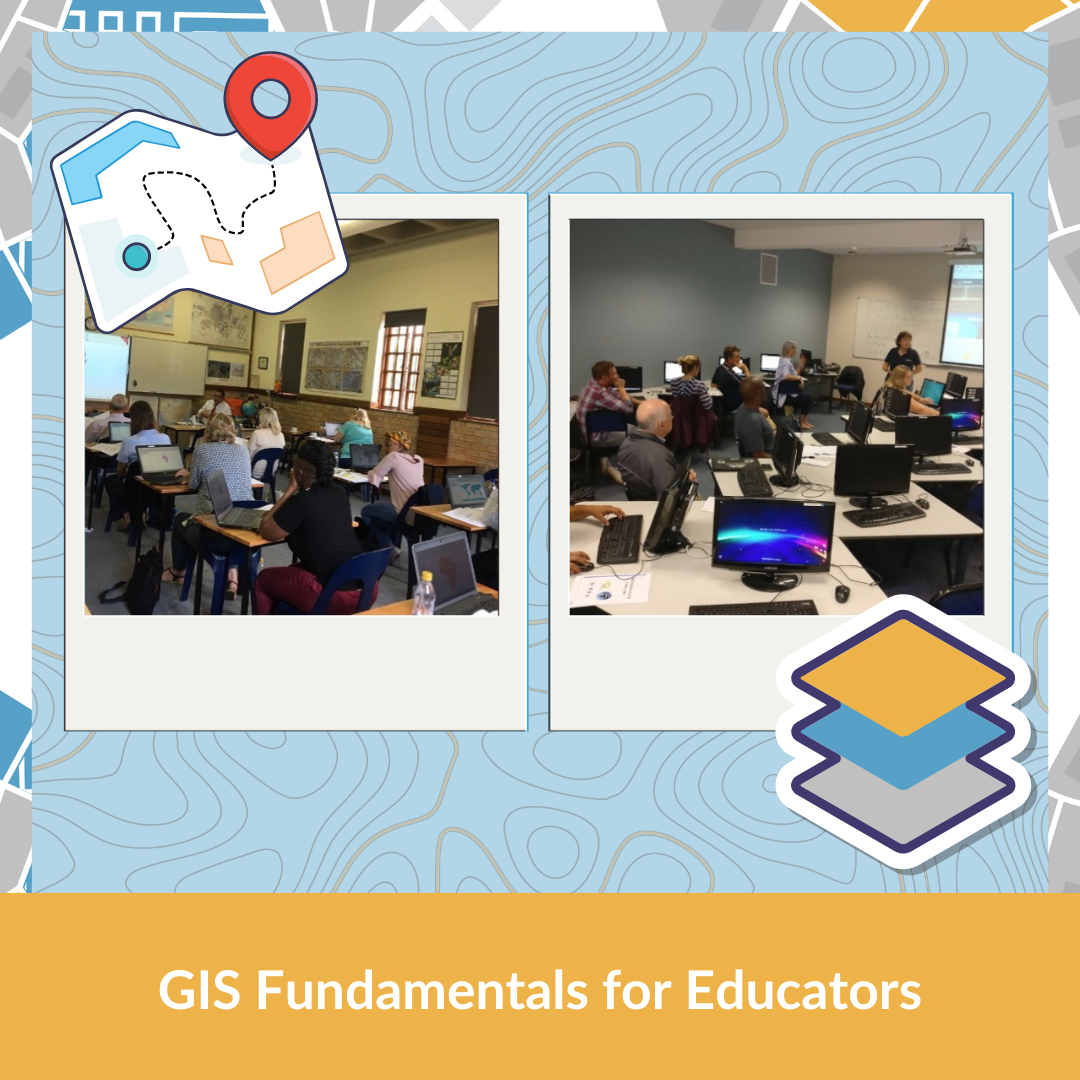
GIS Fundamentals for Educators

Training Item Code: GIS Fundamentals for Educators

GIS Fundamentals for Educators

Develop confidence to teach geospatial skills and techniques.

20% Discount for SAGTA members


The Course:

  1. Certificate of completion SACE accreditation pending
  2. Two evening sessions online (4 hours total). One In-person practical session (4 h). Project (4h).
  3. Access to GIS GeoSpatial Downloader

Course outline:

1.1 MODULE 1: GIS SOFTWARE INTRODUCTION (ASYNCHRONOUS 1 HR)

  1. How to download and install QGIS
  2. How to register and use the course platform (based on Moodle)

1.2 MODULE 2: GIS FUNDAMENTALS PART A (ONLINE, 2HRS)

  1. Introducing QGIS
  2. Vector and raster data
  3. 1.3 MODULE 3: GIS FUNDAMENTALS PART B (ONLINE, 2 HRS)
  4. Cartography (what makes a good map)
  5. How to use GIS to create a map (QGIS Print Layout)
  6. Map of Africa task submission

1.4 MODULE 4: GIS APPLICATION (IN PERSON, 4 HRS)

  1. Digitising and fieldwork
  2. Introducing the Kartoza data downloader
  3. Introducing GIS tasks to use in the classroom (grades 8 and 12)
  4. Creating a map of your school (OpenStreetMap)
  5. Step by step to ‘SA electric car feasibility’ task submission

Course outcomes:

  1. Working with vector and raster data
  2. Cartography
  3. How to create a map using QGIS
  4. Where to source GIS data.
  5. Desktop digitising and collecting data in the field.
  6. Given examples of grade 8, 10, and 12 lessons to use in the classroom.
  7. Help with the portfolio task for accreditation.

About Us:

  1. The course is developed and delivered by experienced teachers and GIS specialists. Includes tried and tested grade 8, 10, and 12 GIS lessons.

Contact Us:

Tel: +27 82 552 3429

Email: teacherhelp@kartoza.com

Website: www.kartoza.com