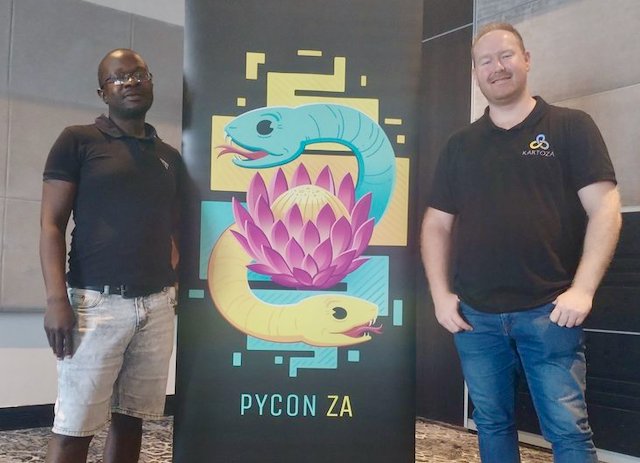
Kartoza at PyConZA Durban 2023
Kartoza is actively involved in developing cutting edge geospatial solutions. Python programming language is at the heart of the major products we build.
My colleague Eli and I recently attended PyConZA to share how we use Python in our work. It was a hybrid event with an in-person audience of more than 50 people at the prestigious Premier Splendid Inn Umhlanga, which offered nice aerial views from the 10th floor.

The main concepts covered by the talks can be broadly categorised as:
- Use of Python in managing databases (PostgreSQL)
- Processing data pipelines
- Do's and Don'ts for building applications using Python.
I also had the privilege of presenting a talk, whose title was Leveraging Python in GeoSpatial Applications. I went over how we at Kartoza use Python in the geospatial industry and was based on some the work we have done on previous projects such as the SAGTA MapDownloader and SDIs (Spatial Data Infrastructure) like one we did recently for managing electrical infrastructure in ECOWAS.
The key things I covered were:
- How to automate loading data from various sources into a single normalised database using Python scripts in QGIS.
- How to create custom Python functions to aid in creating form constraints in QGIS.
- How to use Python to create actions to automate processes in QGIS and expose these in the attribute table in QGIS.
- A practical demonstration of how to set up QGIS forms and and of the workflow for capturing data from a mobile device using MerginMaps and Mergin DB Sync, and how this synchronises with the GeoNode-based SDI
Python as a programming language is very powerful and can be used in many ways as noted in some of the lightning talks where, for example, a user is developing an application to monitor his garage doors and other household components.


No comments yet. Login to start a new discussion Start a new discussion