Planet Labs QGIS Plugin
"Satellite Imaging and Daily Earth Insights to Take Action" Planet Labs is the leading provider of daily data and insights about Earth. Planet helps organisations harness change for action with a multidimensional view of our changing planet. Planet Labs PBC required updates to current features, new features, and bug fixes for their QGIS Plugin. Kartoza was contracted to do the required development of the plugin.
Description
The scope of work was:
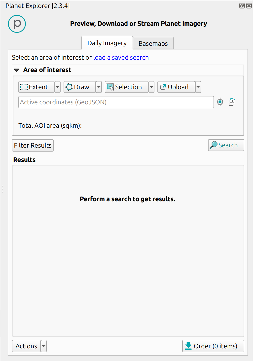
- QGIS Plugin Enhancements: Enhancements planned for the QGIS Plugin, including adding STAC Metadata as an order checkout option, an "Add to Map" button to correctly visualise SkySat imagery bands, and displaying the size of an Area of Interest (AOI) in the search panel.
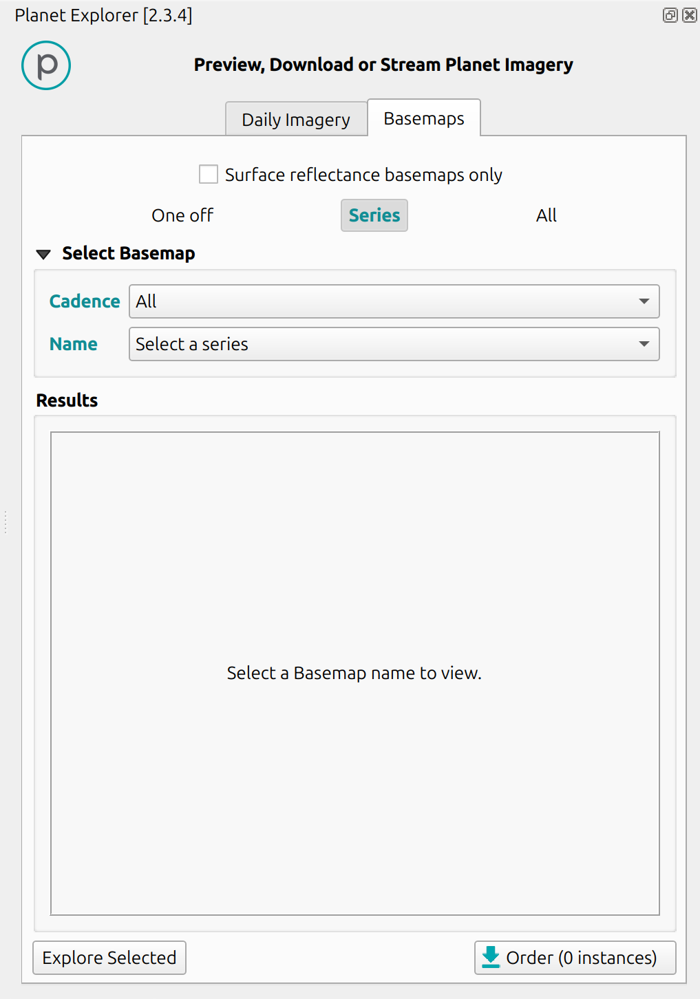
- Bug Fixes: Bugs that need to be addressed in the plugin. These included issues with the Basemap panel availability, connection errors, ordering of Planet's Basemap cadence, Analytics Basemap not appearing in QGIS, auto-fill tasking coordinates, and linking to the standard terms of use. Additionally, any outstanding issues on the Github repository for the plugin needed to be addressed.
- Imagery Visualisation: A specific problem was highlighted regarding the visualisation of SkySat imagery bands in QGIS. The issue was that SkySat bands are ordered "BGR," whilst GIS tools typically expect "RGB," leading to incorrect color channel organisation. The proposed "Add to Map" button aims to resolve this issue.
Duration
Started: 2022-09-01
Completed: 2024-09-01
Completed: 2024-09-01
Client
Planet Labs


