Kartoza Book Review: Discover QGIS 3.x - Second Edition
Kartoza Book Review: Discover QGIS 3.x - Second Edition by Kurt Menke
Kartoza Book Review: Discover QGIS 3.x - Second Edition
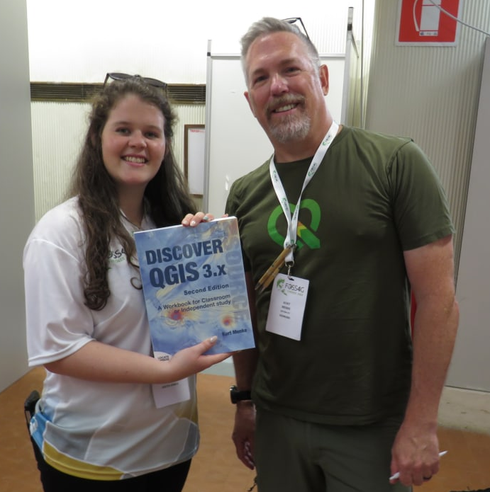
I was thrilled to win a copy of the book Discover QGIS 3.x - Second Edition by Kurt Menke at the FOSS4G 2022 conference in Florence. After two long flights and many happy hours of reading, I am pleased to say that this book is an essential guide for any new QGIS user, a fantastic syllabus for GIS educators and a gem in the back pocket of every QGIS professional. Although the book starts gently by giving some background information and essentials for beginner users, it quickly ramps up to vital theoretical knowledge and practical, real-world examples and exercises to work through.
The book is broken down into five main sections: Introduction to Geospatial Technology, Spatial analysis, Data Acquisition and Management, Cartographic Design and Advanced Data Visualisation. The exercises are written methodically, with an abundance of screenshots. Thus QGIS users of any level would benefit from working through them. Further, most sections and exercises are self-contained units allowing users to pick up and easily follow only the sections they require or want to learn about.
If you have worked through the first edition, the second edition offers seven new chapters outlining brand new functionality and seven chapters that have been largely updated and reworked. However, all of the 31 chapters have been updated with new screenshots, figures, workflows, features, descriptions, and tips. Thus the new edition is worth a read even as a QGIS expert.
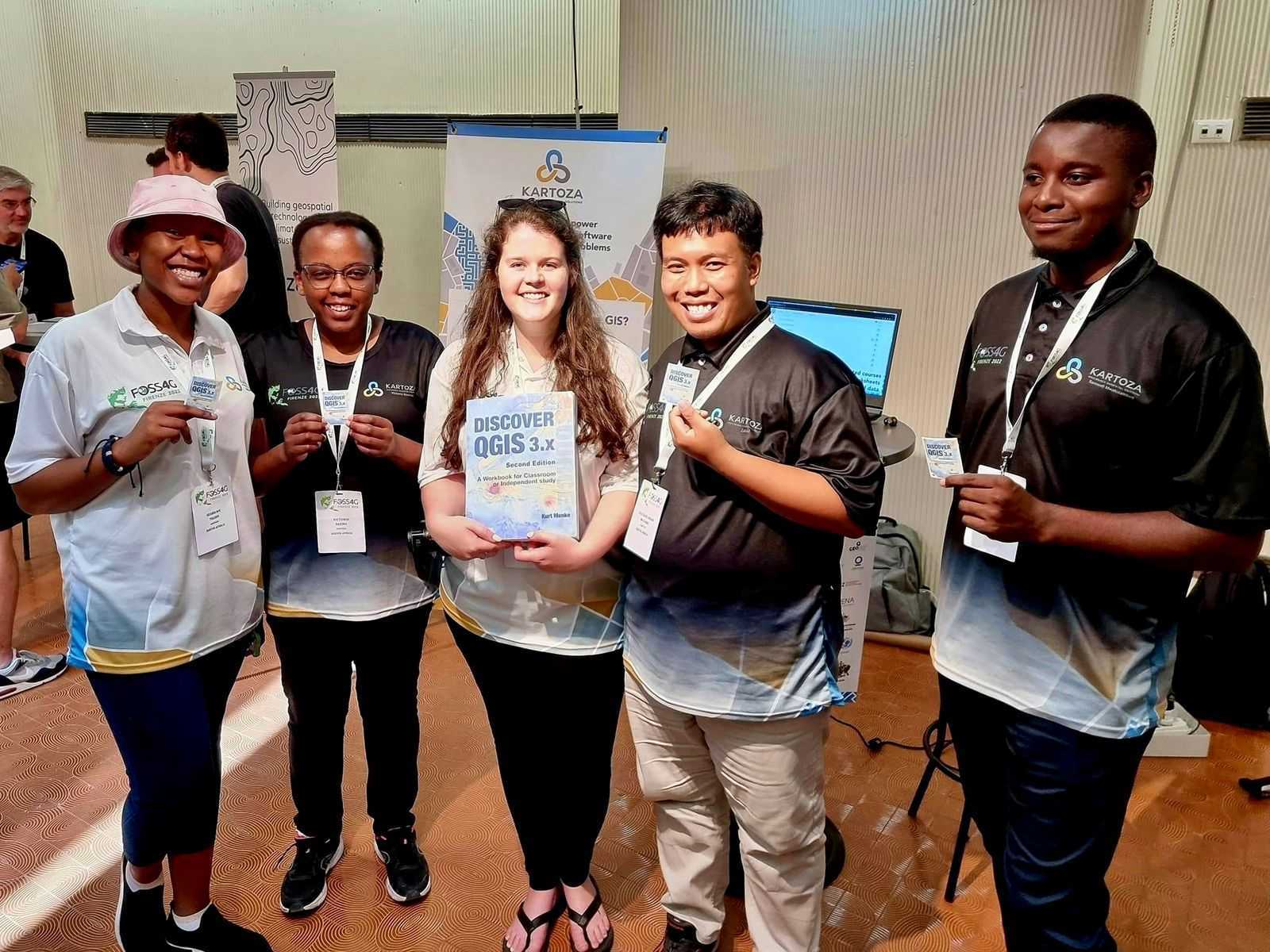
The FOSS4G Session and Some of my Favorite new Functionality
It was fantastic to attend the session given by Kurt at the FOSS4G 2022 conference, where he highlighted some of the amazing new content available in the second edition and functionality in QGIS version 3 and up. Some of my favorite new functionality, which I outline below: Field Data Collection chapter (pg, 191-208), Working with Labels and Annotations (pg, 301-314), Animated Temporal Data with the Temporal controller (pg 365-374) and Working with 3D views (375-387).
Field Data Collection
This chapter focuses on obtaining data to use in QGIS through MerginMaps, one of the main data collection apps next to QField. Kartoza has explored the use of this system in a past post entitled The Kartoza Intern's Journey Creating a Field Survey with QGIS, Mergin and Input. The chapter takes the user step by step through creating a QGIS project with study area and base maps in which to create and visualise data, creating usable survey layers and data collection forms as well as collecting data using various plugins and cloud services to sync data easily from mobile devices to the main project.
Working with Labels and Annotations
Although this chapter has many sections and helpful tips and tricks, one of the best sections is on the use of annotations. Annotations are a way to add markings or labels to a map without creating a new or duplicate layer. As a cartographer, I find this functionality incredibly useful and gives more control over exactly how you want labels and markings to look on a map. Further, the annotation layers are georeferenced and so move and change size when scaling the map.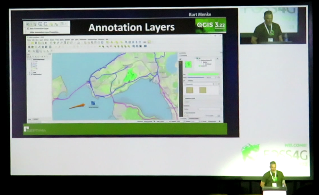
Animated Temporal Data with the Temporal Controller
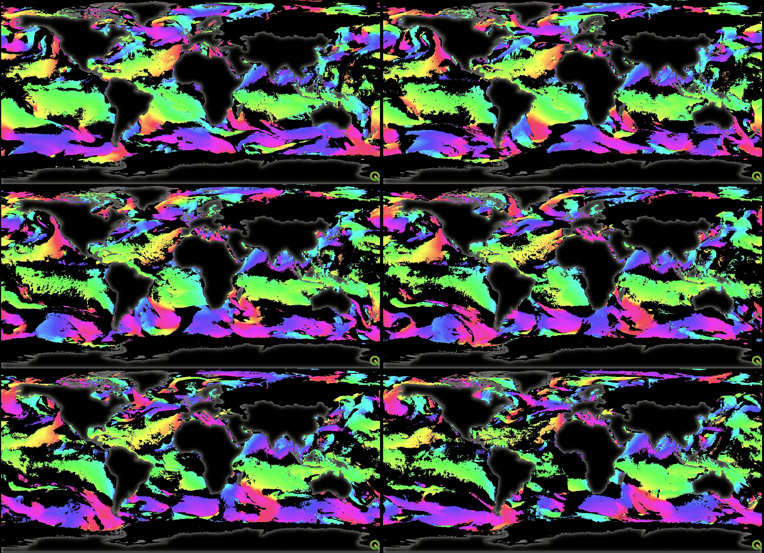
I was also lucky enough to attend the session given by Samweli Mwakisambwe on the QGIS Temporal Controller with WMS-T Layers at FOSS4G 2022. I was pleased to see a brand new chapter covering the functionality in the new edition of Discover QGIS. The chapter takes the user through configuring temporal settings, labeling time and using decorations, and creating animated gifs. Combining the two sessions attended, I was able to create the following awesome gif of wind flow with simple decorations. I can’t wait to play with the Temporal controller more.
Working with 3D views
This chapter showcases the amazing 3D functionality QGIS has. One of the newest and coolest is creating an Elevation Profile outlined in a simple 2-page task in the book for which all the data and instructions are included when the book is purchased. This functionality is only available in QGIS 3.26 and above, and this is made clear in all areas of the book where functionality is version specific. Importantly the book is backward compatible, so most of the functionality explored is doable in older versions of QGIS.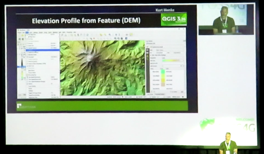
Overall Impressions
Many users of QGIS, including myself, have learnt the software on an ad hoc need-to-know basis or migrated over from other GIS technologies. This book offers a fantastic curated knowledge base on both GIS and QGIS for all users of every level. Readers can round out their knowledge base, build knowledge or learn and new software. QGIS users, professionals, educators and students would benefit from this book. However, I think GIS students and educators would benefit most from this book as a textbook for practical GIS.
Amy Ternent
Amy is a Graduate Environmental scientist. She has an Honours degree from the University of Pretoria and a Masters in Environmental Science from The University of the Witwatersrand. She Works at Kartoza as a Junior GIS specialist and GIS Technician. Amy is passionate about the environment and using GIS to solve complex ecological and environmental issues. She is also creative and enjoys nothing more then making beautiful and functional maps using open source technology. She also enjoys creating and editing videos and other multimedia projects for education and inspiration. She loves creating social media content and interacting with the vibrant QGIS and open source community through Open days and other initiatives.In her spare time Amy can be found hiking, camping, birding or on almost any outdoor adventure. When she is not hiking up a mountain, she enjoys slowing down with a number of creative pursuits, including drawing, embroidery, and laser engraving / cutting her latest designs.

No comments yet. Login to start a new discussion Start a new discussion