Blog

The Kartoza Intern's Journey Creating a Field Survey with QGIS, Mergin and Input - Cover Image
FOSSGIS
The Kartoza Intern's Journey Creating a Field Survey with QGIS, Mergin and Input

Input is a FOSS application created by Lutra consulting that brings the power of QGIS to a portable device for data collection.

Using Geospatial Technology to Promote Clean Cooking
FOSSGIS
Using Geospatial Technology to Promote Clean Cooking

Access to clean cooking technology (such as gas or electric stoves) can greatly improve health outcomes.

Mass reprojection of h5 Files using Gdal and Bash Tricks
FOSSGIS
Mass reprojection of h5 Files using Gdal and Bash Tricks

I recently got hold of h5 files (Hierarchical Data Format (HDF)) and I tried to load them into QGIS and they were drawing in the wrong places.This was because they were not georeferenced.
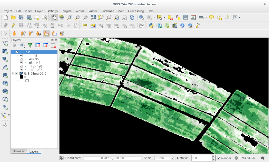
Generating an XYZ ASCII File from a QGIS Raster - Cover Image
FOSSGIS
Generating an XYZ ASCII File from a QGIS Raster

Someone wrote to me asking if it would be possible to generate an XYZ ASCII file from a single band raster layer in QGIS.

How To Create a QGIS PDF Report with a Few Lines Of Python
FOSSGIS
How To Create a QGIS PDF Report with a Few Lines Of Python

Sometimes you want to automatically generate a report to reflect the latest state of your data.

A Quick Hack to Select All Multipart Features in QGIS - Cover Image
FOSSGIS
A Quick Hack to Select All Multipart Features in QGIS

A quick hack to select all multipart features in QGIS

Setting up a Fedora 21 QGIS Workstation - Cover Image
FOSSGIS
Setting up a Fedora 21 QGIS Workstation

I have been a long time Ubuntu user (I have actually been using it since Ubuntu 4.10 'Warty Warthog') - the first official release.

How to Quickly Transform a Bounding Box from One CRS to Another Using QGIS
FOSSGIS
How to Quickly Transform a Bounding Box from One CRS to Another Using QGIS

Today I needed to convert a bounding box for a tilemill project that I want to bring into QGIS as a tile layer.