Kartoza Book Review: QGIS for Hydrological Applications second Edition
QGIS for Hydrological Applications is not just a book for Hydrologists but for anyone who wants to improve their QGIS skills through practical, real-world examples that happen to be hydrological.
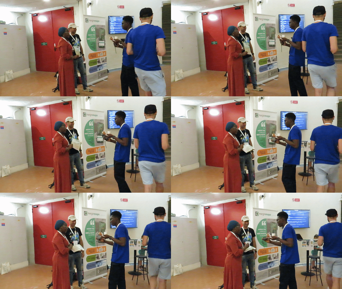
It was fantastic to catch up with the authors at the FOSS4G 2022 conference and talk about the new edition (and get some selfies). I was excited to receive a copy of QGIS for Hydrological Applications on my return from the conference and having taken the time to read and work through the book I have come to the following conclusion: QGIS for Hydrological Applications Second Edition is not just a book for Hydrologists but for anyone who wants to improve their QGIS skills through practical, real-world examples that happen to be hydrological.

The book has eight Chapters: Preparing Data from Hard Copy Maps, Importing Tabular Data into QGIS, Spatial Analysis with Map Algebra, Stream and Catchment Delineation, Adding Open Data to Your Catchment, Calculating Percentage of Land Cover per Subcatchment, Map Design and Conclusion. The book is set up like a QGIS workflow with each section leading on from the next culminating in all the skills needed to create pleasing and functional map.

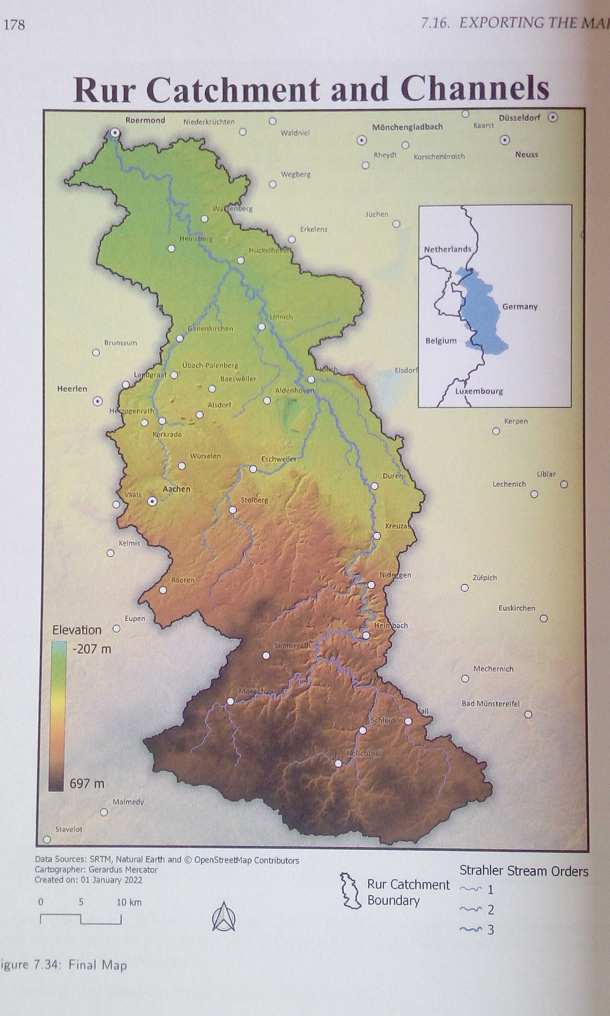
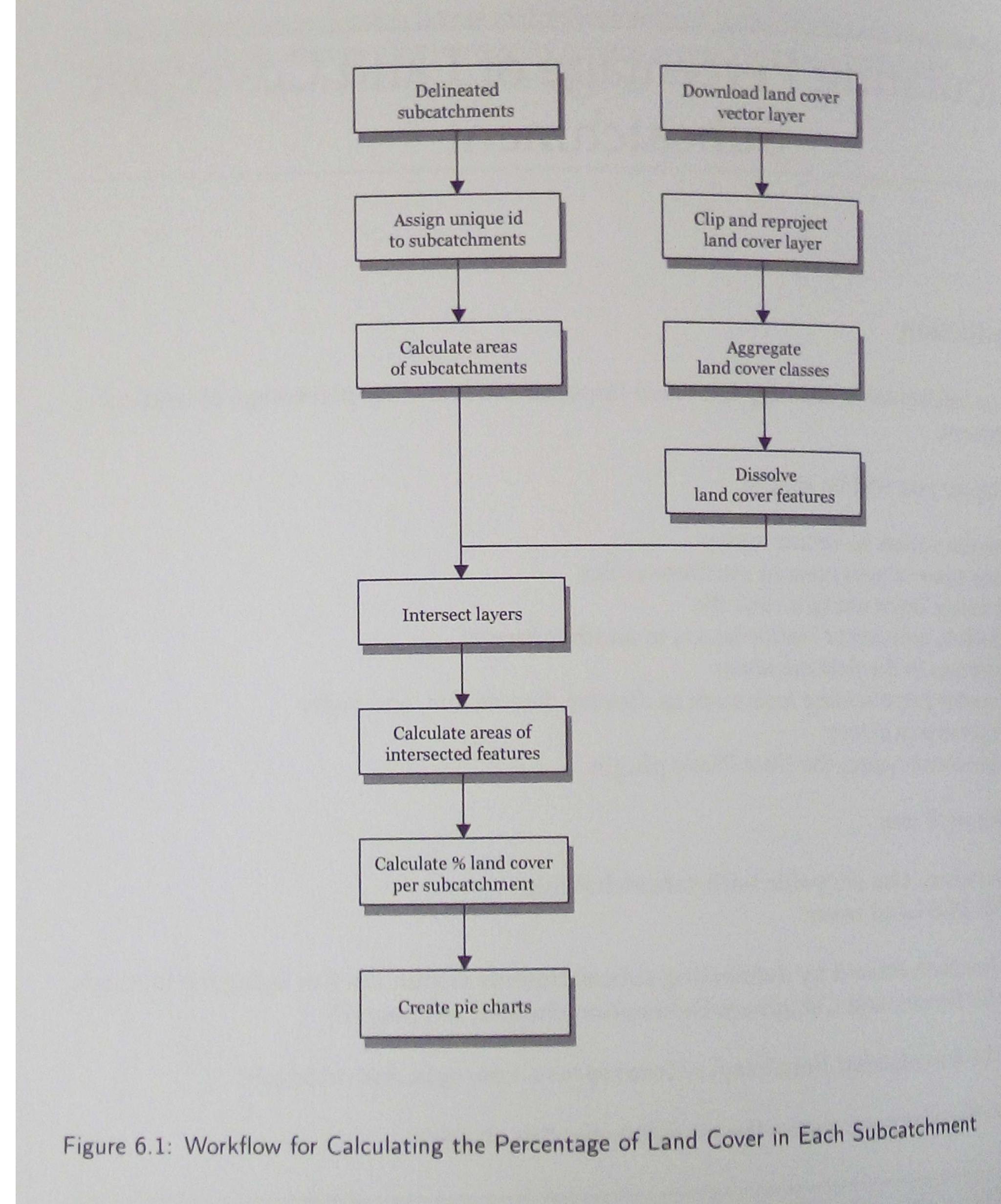
Each chapter begins with a workflow showing what will be done in a step-by-step fashion. These workflows are not QGIS-specific and could be executed in other software if needed, but the general logic and analysis required are outlined from the get-go which is useful for anyone improving their GIS skills. The exercises are written methodically, with an abundance of full-colour screenshots, and are easy to follow, particularly when paired with the videos on Hans van der Kwast's Youtube Channel.

See the QOD Book review session here: https://www.youtube.com/watch?v=YgNVQz4PegQ
Amy Ternent
Amy is a Graduate Environmental scientist. She has an Honours degree from the University of Pretoria and a Masters in Environmental Science from The University of the Witwatersrand. She Works at Kartoza as a Junior GIS specialist and GIS Technician. Amy is passionate about the environment and using GIS to solve complex ecological and environmental issues. She is also creative and enjoys nothing more then making beautiful and functional maps using open source technology. She also enjoys creating and editing videos and other multimedia projects for education and inspiration. She loves creating social media content and interacting with the vibrant QGIS and open source community through Open days and other initiatives.In her spare time Amy can be found hiking, camping, birding or on almost any outdoor adventure. When she is not hiking up a mountain, she enjoys slowing down with a number of creative pursuits, including drawing, embroidery, and laser engraving / cutting her latest designs.

No comments yet. Login to start a new discussion Start a new discussion