Blog

Disaster Management with QGIS and the InaSafe Plugin - Cover Image
QGIS
Disaster Management with QGIS and the InaSafe Plugin

In the ever-evolving landscape of disaster management, having the right tools to anticipate and respond to disasters can be the difference between preparedness and chaos.

Kartoza Book Review: QGIS for Hydrological Applications second Edition - Cover Image
QGIS
Kartoza Book Review: QGIS for Hydrological Applications second Edition

QGIS for Hydrological Applications is not just a book for Hydrologists but for anyone who wants to improve their QGIS skills through practical, real-world examples that happen to be hydrological.

Installing QGIS on a Chromebook
QGIS
Installing QGIS on a Chromebook

Run QGIS on a Chromebook! A high school in Johannesburg shows how to extend Chromebook client notebooks to be effective desktop GIS computers.

A Step Forward in Kartoza's QGIS and GeoNode Training  - Cover Image
QGIS
A Step Forward in Kartoza's QGIS and GeoNode Training

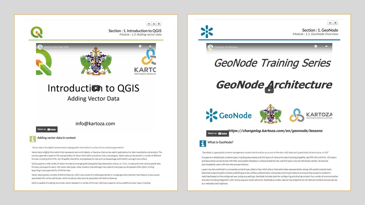
Learning online has become an essential part of education globally. Kartoza has answered the call for up-to-date, engaging and dynamic teaching material by updating our QGIS and GeoNode teaching platf

Creating 3D Models for QGIS with ODM on Windows - Cover Image
QGIS
Creating 3D Models for QGIS with ODM on Windows

This post is a walkthrough showing you how to create a 3D model using ODM and Blender from the video frames of a video shot on your cellphone and use the 3D model as a symbol in QGIS. 

QGIS STAC API Plugin - Cover Image
QGIS
QGIS STAC API Plugin

STAC API plugin A new QGIS plugin that allow browsing STAC API catalogs has been release, the plugin developed by Kartoza and sponsored by Microsoft is available for

QGIS Road to Nerdvana Episode 19 and 20
QGIS
QGIS Road to Nerdvana Episode 19 and 20

Episode 19 is a walk through using the Google Earth Engine Time series Explorer plugin for QGIS.

QGIS Road to Nerdvana Intern Edition
QGIS
QGIS Road to Nerdvana Intern Edition

The interns took over the Nerdvana space, showing off their skills is QGIS

QGIS Road to Nerdvana Episode 14: Fun and Games with QGIS Server
QGIS
QGIS Road to Nerdvana Episode 14: Fun and Games with QGIS Server

In this episode, Charles and Tim walk through setting up a QGIS server in docker with data and QGIS project files published in PostgreSQL / PostGIS.

QGIS Road to Nerdvana Episode 12: Dashboards Revisited!
QGIS
QGIS Road to Nerdvana Episode 12: Dashboards Revisited!

In case you missed out on Episode 12 of our QGIS Road to Nerdvana, click on the link and enjoy the stream: QGIS Road to Nerdvana Episode 12 In this

QGIS Style Sharing Repository
QGIS
QGIS Style Sharing Repository

Woohoo! A new way to share styles in QGIS!

QGIS Road to Nerdvana Episode 10: Speed Map Making (part 1)
QGIS
QGIS Road to Nerdvana Episode 10: Speed Map Making (part 1)

In this video, Tim Sutton will be trying to go from Zero to Nice Looking Map as quick as he can. See how he goes about creating the map and see if you can't make a nice looking map in 30 minutes.

QGIS Road To Nerdvana Episode 10: Speed Map Making (part 2)
QGIS
QGIS Road To Nerdvana Episode 10: Speed Map Making (part 2)

Why make just one map in the quickest time possible? Make more! In this video Tim Sutton will again try to go from Zero to a Nice Looking Map as quick as he can.

QGIS Road to Nerdvana Episode 11: Aggregate Dashboards
QGIS
QGIS Road to Nerdvana Episode 11: Aggregate Dashboards

Tim Sutton decided to change things up a bit, he was joined by Charles and Seabilwe from Kartoza and the three made aggregate dashboards in QGIS.

QGIS Road To Nerdvana Episode 8: It's All a Big Meshunderstanding
QGIS
QGIS Road To Nerdvana Episode 8: It's All a Big Meshunderstanding

In this episode watch along as Tim Sutton explores some of the new mesh capabilities coming in QGIS 3.16!

QGIS Road to Nerdvana Episode 9: Building a 3D Scene from Scratch
QGIS
QGIS Road to Nerdvana Episode 9: Building a 3D Scene from Scratch

In this episode Tim Sutton will show you how to make a simple 3D scene in QGIS. Leave your comments and questions below and enjoy

Finding and Fixing Topology and Geometry Errors in QGIS - Cover Image
QGIS
Finding and Fixing Topology and Geometry Errors in QGIS

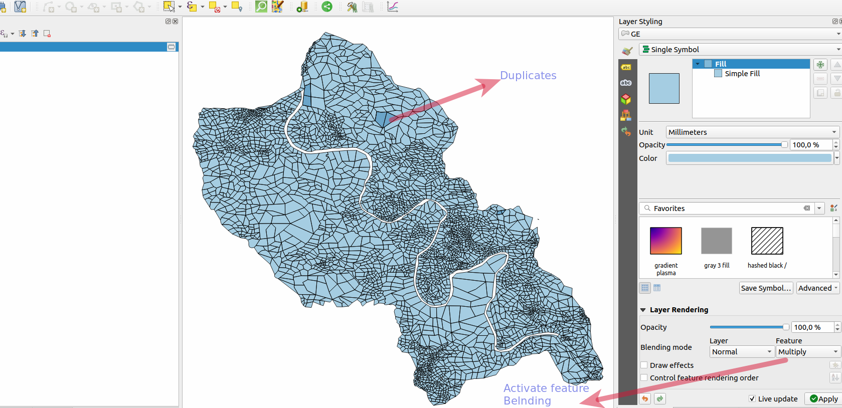
Google Maps, Google Earth, Uber are examples leading software/apps that are driven by GIS. They have allowed the ordinary person inadvertently to use GIS and appreciate its power without needing an un

QGIS Road to Nerdvana Episode 6 - Responding to Feedback on Episode 5 Pull Request
QGIS
QGIS Road to Nerdvana Episode 6 - Responding to Feedback on Episode 5 Pull Request

This episode is a follow-up from Episode 5, responding to the feedback received.

QGIS Road to Nerdvana Episode 4: Dealing with Issues
QGIS
QGIS Road to Nerdvana Episode 4: Dealing with Issues

In this episode of QGIS road to Nerdvana, Tim Sutton will be showing you a workflow that will aid in dealing with issues encountered with a QGIS that compiles, so you won’t have to compile or debug.

QGIS Road to Nerdvana Episode 5: Tweaking the First Run Dialog
QGIS
QGIS Road to Nerdvana Episode 5: Tweaking the First Run Dialog

In this episode, Tim Sutton takes you along for the ride as he picks a long-time irritation in QGIS: The first run dialog. He tweaks it to make it look nice to submit it as a pull request to QGIS.