Blog
Calculating Area of Rasters in QGIS
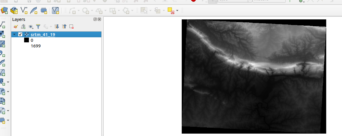
QGIS raster functionality has come a long way and continues to improve.
Does Hosting Your Own Server Still Make Sense in 2020?
Client: We need a server for this project, and we want to host it in house Me: Why?
Data Defined Settings for Grid Placements in QGIS 3.12
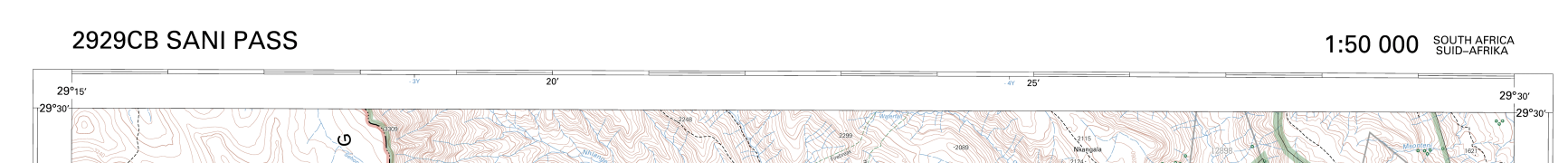
For a while now I have been trying to simulate the 1in50k topographic maps of South Africa.
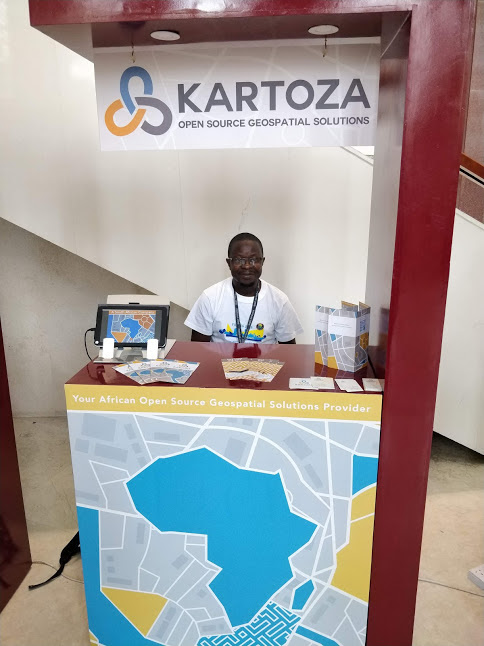
FBIS 2 Launch Workshop
Toni Olsen from Freshwater Research Center (http://frcsa.org.za) presenting the Freshwater Biodiversity Informations System (FBIS) version 2 at the launch workshop
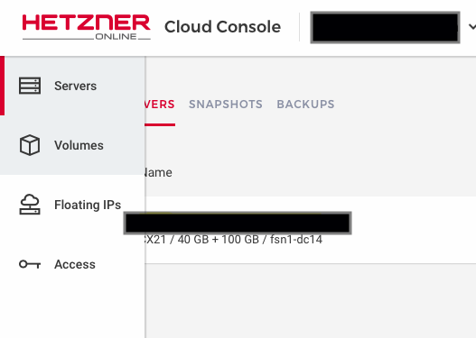
Mounting a Storage Drive in Hetzner Cloud for Rancher Deployments
This article builds upon an earlier blog post by Tim Sutton on using-a-sambacifs-mount-as-a-docker-volume.
Year in Review: 2018
It's been another awesome year for our Team. We have come a long way since establishing Kartoza in 2014, building many different software products, making friends
How to Setup SSL on Nginx Using LetsEncrypt
Introduction Another doc about SSL? Maybe... We are writing this to explain our trial and error on setup SSL on the servers.
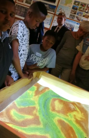
Introducing the First Tangible Landscape in Africa
As part of Kartoza's outreach programme, I recently helped the geography department at St Johns College in Johannesburg set up a Tangible Landscape
Mass rRprojection of h5 Files using Gdal and Bash Tricks
I recently got hold of h5 files (Hierarchical Data Format (HDF)) and I tried to load them into QGIS and they were drawing in the wrong places.This was because they were not georeferenced.
Nodeenv: How to Install Nodejs in a Python Virtualenv
Here at Kartoza, working in python virtual environments is our default modus operandi when embarking on any python development.


